
I walked from Denver to Durango this summer which is a distance of about 500 miles. I didn’t do it to figure out the meaning of life, answer any big questions, or recover from any sort of trauma. I just did it because I like to walk. I started July 27th, 2021 at Waterton Canyon in Denver.
I finished the trail on September 9, 2021 in Durango. I wrote a lot about my experience while I was on the trail in my Instagram feed. The posts started July 29th and you can read all about the trail in more depth there. I wrote those posts when I had zero days in town. I did not have much cell coverage on the trail and I would not have spent hiking time posting to social media in any case! I was there to live outside, not to remain connected.
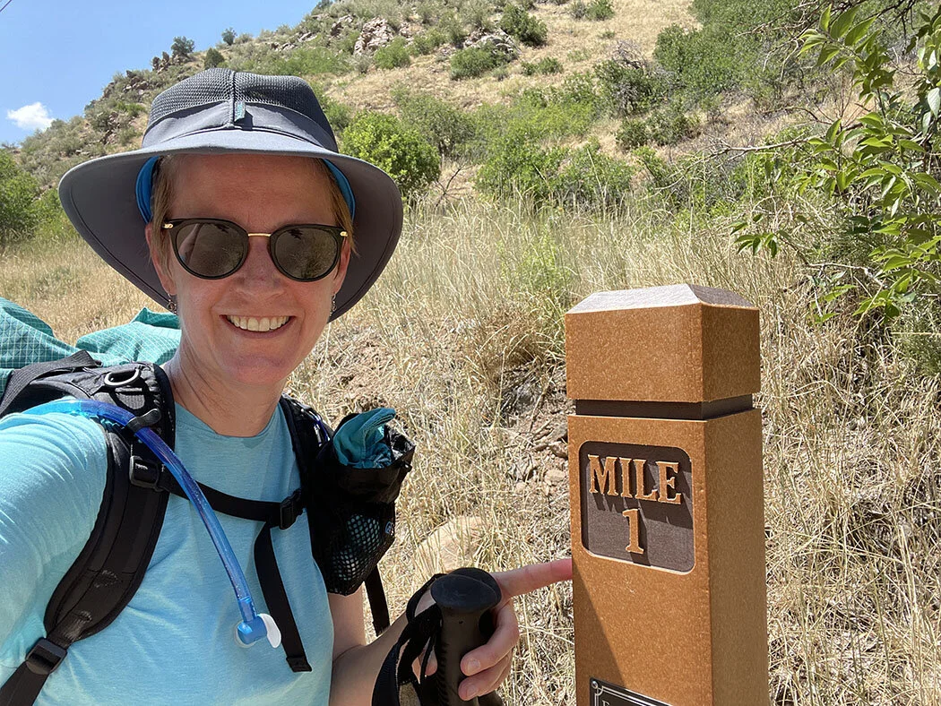
July 27, 2021. Starting the Colorado Trail at Waterton Canyon in Littleton (Denver), Colorado
September 9, 2021. Finishing the Colorado Trail in Durango, Colorado
Trail synopsis: the hiking part
I started the trail on a random Tuesday. I wanted to start mid-week in the hopes there would be fewer people on the trail at the start where things get a bit bottle-necked before lots of people realize hiking 500 miles isn’t for them and drop out. Waterton Canyon is the official northern terminus of the trail. It was 95 degrees Fahrenheit when I started mid-afternoon. I had done a fair amount of training in the heat on purpose because I knew this was going to be hard for me. I did spend several hours sitting under picnic shelters in the canyon waiting for it to get a little cooler. The Mile 1 photo in the gallery reminds me how hot I was.
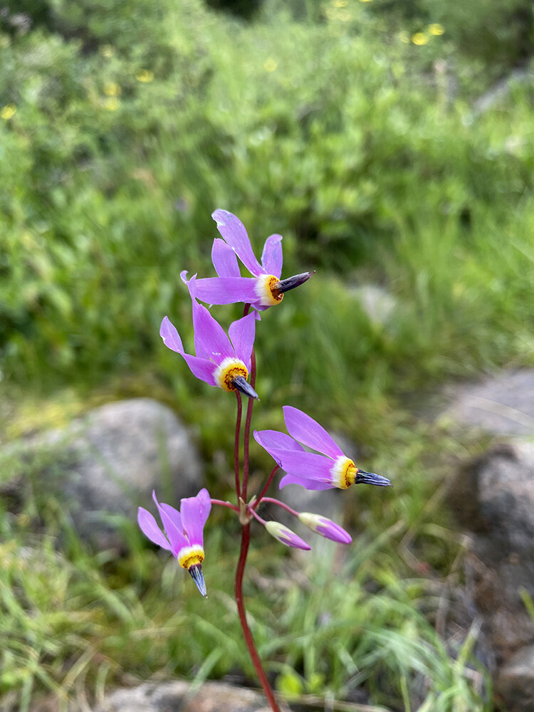
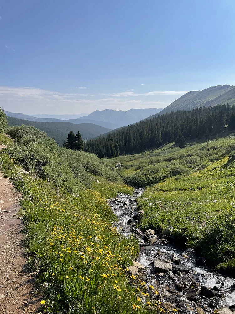
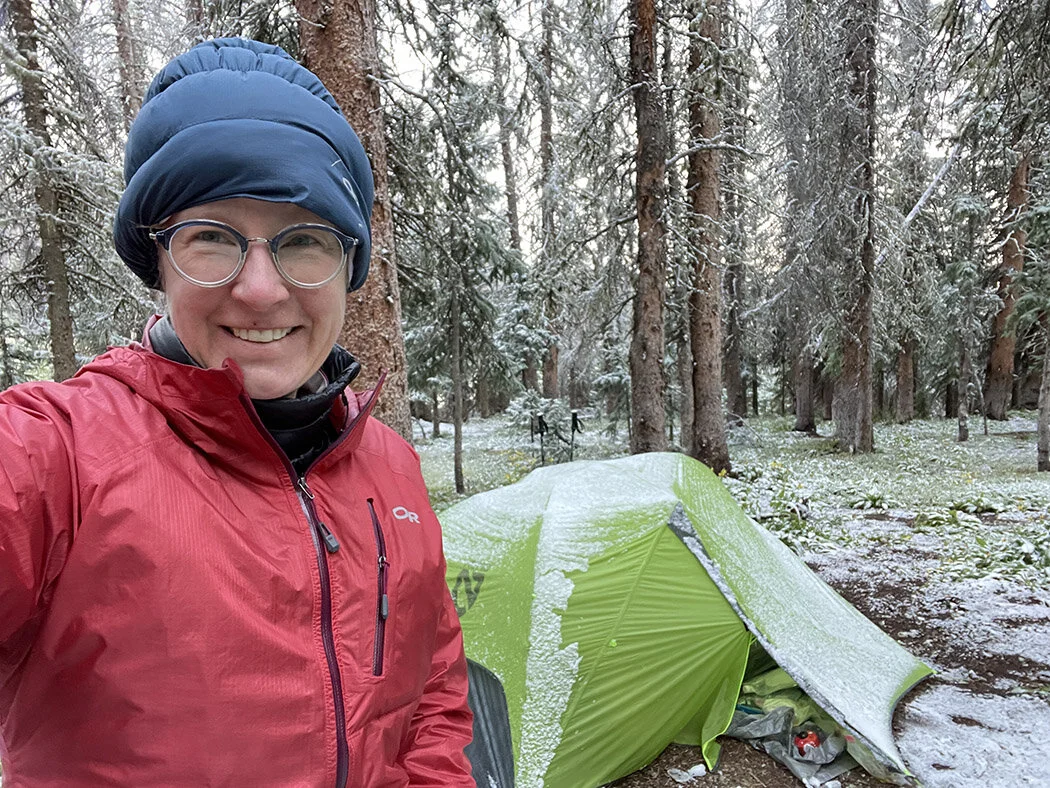
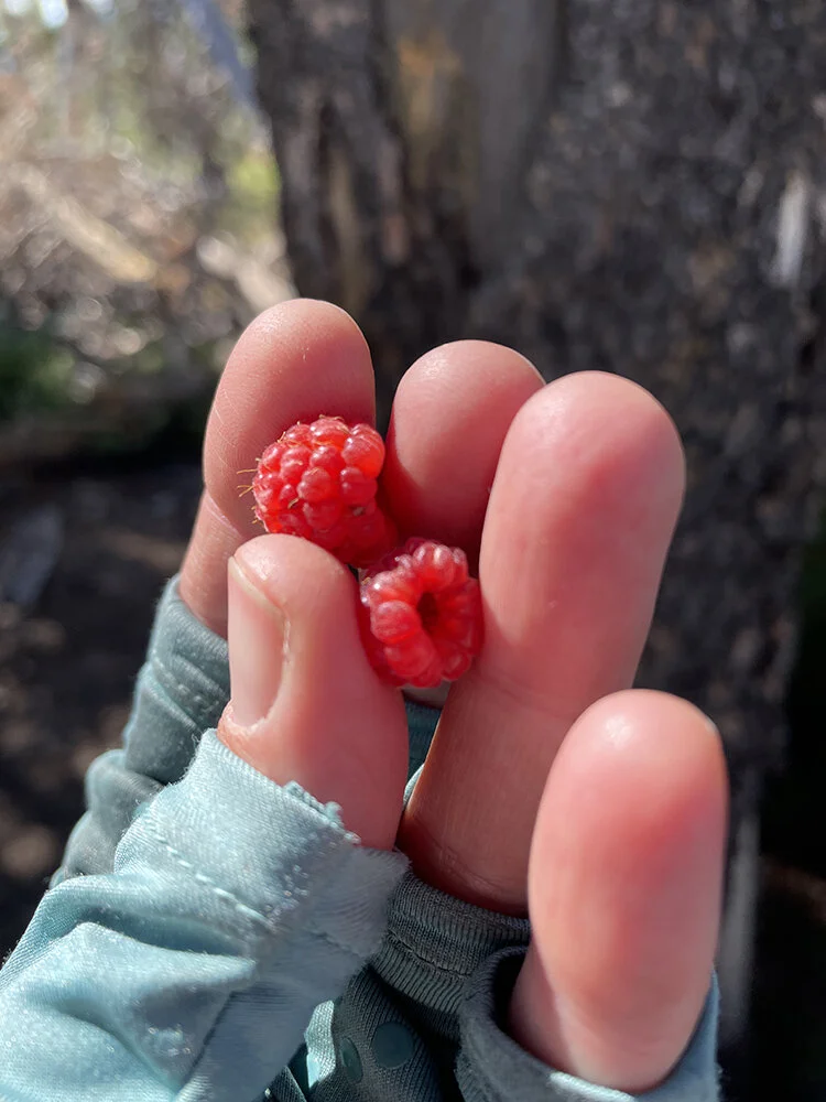
Colorado got a lot of rain this year. I made some gear decisions as I went along after being in one huge storm in Segment 4 (double wall tent for the rest of the trail was the main one). The rain meant there were amazing wildflowers and lots of mushrooms (I think literally tons). I enjoyed experiencing all the details of those wonderful little growing things especially in the first half of the trail.
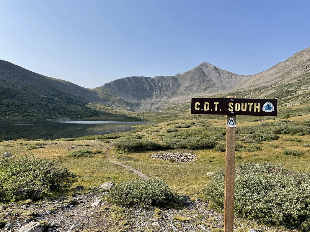
This map is from the Colorado Trail Foundation’s website. I took Collegiate West where the trail splits.
The trail meanders through a wide range of ecosystems as it goes from 5,500 feet in Denver to well over 13,000 feet later in the trail. Though I started in 95 degree heat and experienced high temperatures for the first week, the average elevation of the trail is 10,000 feet and after Breckinridge, huge portions of it are over 11,000 feet. That means that I experienced a lot more concerns about cold than heat!
I elected to take the Collegiate West alternate this year. In 2003 when I thru-hiked the trail the first time with my sister, Collegiate West didn’t exist as part of the Colorado Trail (it has been the usual route for the Continental Divide Trail however). Now that alternate is maintained jointly by the Colorado Trail Foundation and the various organizations that work on the Continental Divide Trail. It was my favorite part of the trail. The high-altitude trail hugs the Continental Divide for most of its length where possible. This means there is less water, less camping option, and more lightening danger as it is largely above treeline. It also means the views are unending and pretty dang amazing. I will return to this section of the trail for sure.
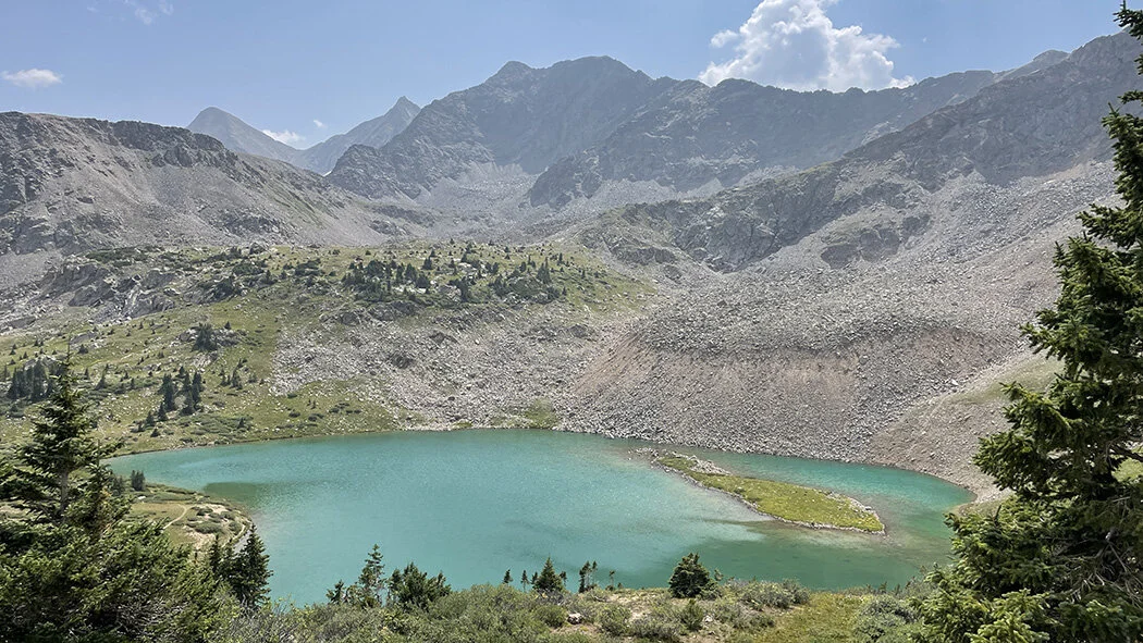
After Collegiate West the trail enters a long, flat, largely waterless section as it heads near Gunnison toward Creede. The walking was easier here but the water carries added significant weight (up to 12 pounds at a time). Eventually the trail heads into the South San Juans. This beautiful high-altitude section lasts for about 60 miles. I love these above treeline walks as long as there aren’t storms.
My last zero day (a day with no trail miles hiked) was in the small mining town of Silverton, CO. From there I had 75 more miles to the southern terminus in Durango, CO. I enjoyed the last days of the hike though I had become increasingly fatigued and had to drop my daily mileage as I was entering the South San Juans.
This trail was a wonderful 45 days of time where I was able to just walk. Curiosity drove my days. Most of the time I was able to stop and explore interesting things, take photos, and enjoy the beautiful surroundings. It was a time to reset and shrug off the stress from the last several years. I’ll definitely go back for more long hikes.
45 days total including zero and nero days
6 zero days (in Fairplay, Twin Lakes, Gunnison, Monte Vista, Creede, Silverton)
Many nero days (days when you don’t hike many trail miles)
A bazillion flowers and mushrooms
Lots of marmots, pika, and chipmunks
A handful of snowshoe hare
Several ptarmigan, a couple grouse, an eagle eating a recent kill
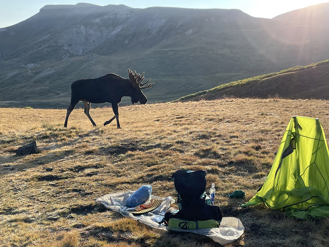
At least 10 moose
A fox, a weasel
Many bighorn sheep and deer
Zero bear.
I rode one train and got 5 shuttles, one on a side-by-side. No hitchhiking needed.
Ate every meal outside including in town.
Stayed in one hostel, one ski resort, one friend’s house, my parent’s house, one hotel, and one old brothel-turned-hotel.
I got snowed on only once, was in at least 5 hailstorms, was outside in 3 big thunderstorms and inside in another. Spent one full day in the tent in the rain.
Avoided all major physical issues. Used a cork ball to avoid shin splits and foot issues and always stretched in the tent at night. By 3 weeks in I had great trail legs and could climb those hills at 13,000 feet without gasping. I was, however, very tired by that point. I am guessing this was mostly due to lack of calories and recovery days. Also, I’m 48 not 30 this time around!
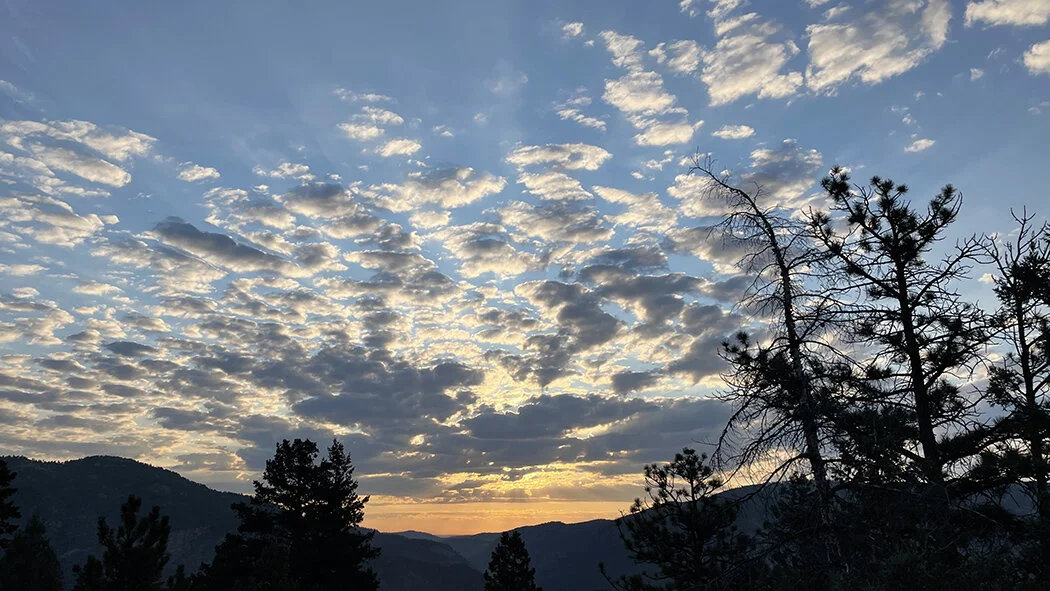
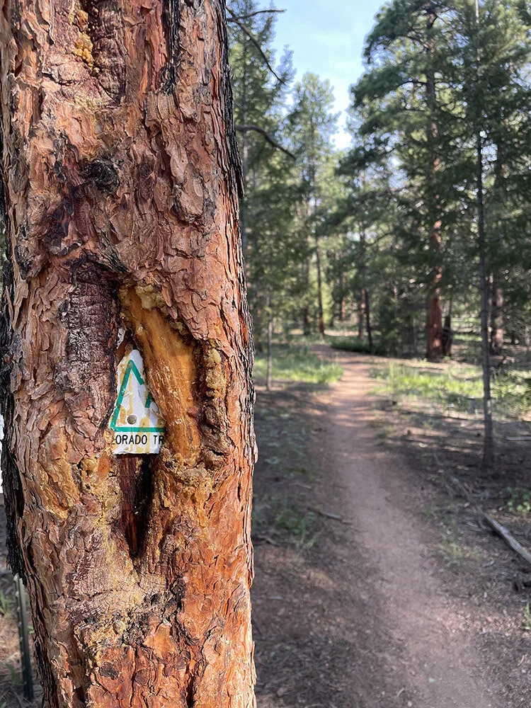
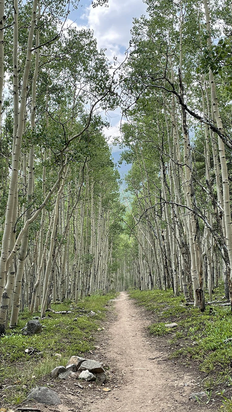
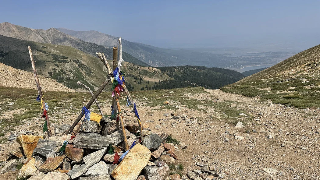
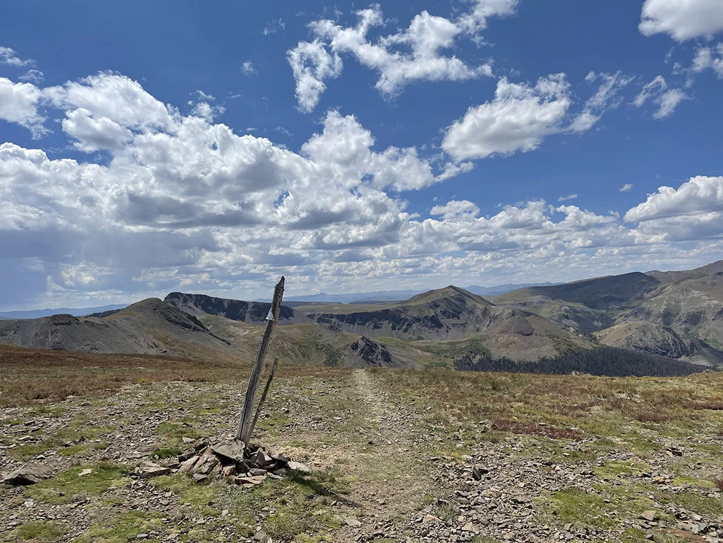
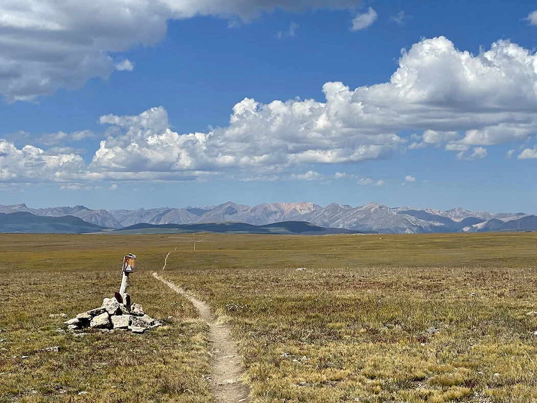
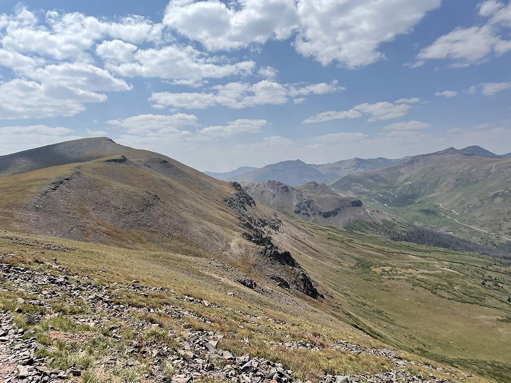
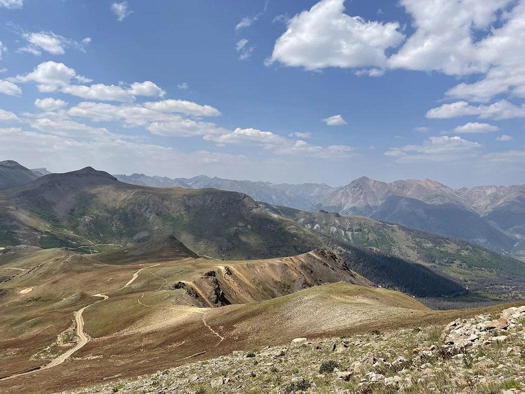
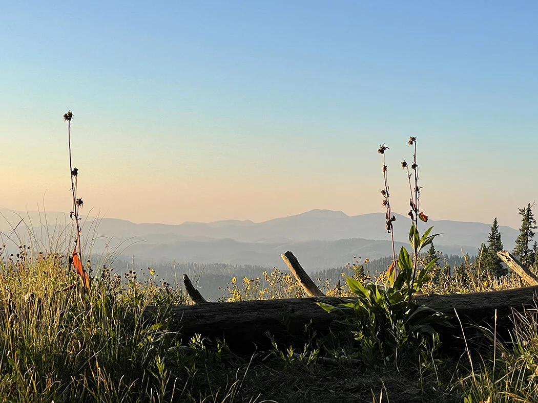
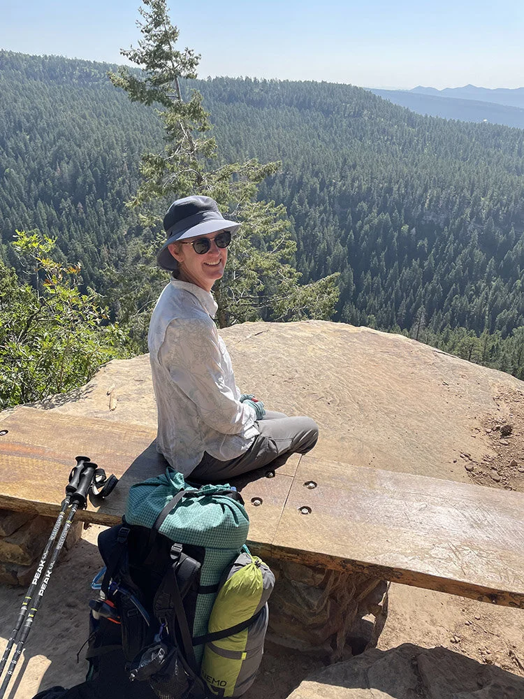
The photo gallery below gives you a feel for the hike. For the full story, please see my Instagram feed. Click to enlarge, hover for captions (on a computer), arrows to scroll. These images will appear as a long string on mobile and if you get the blog via email. If you want to see the captions, please look at the blog on a computer.


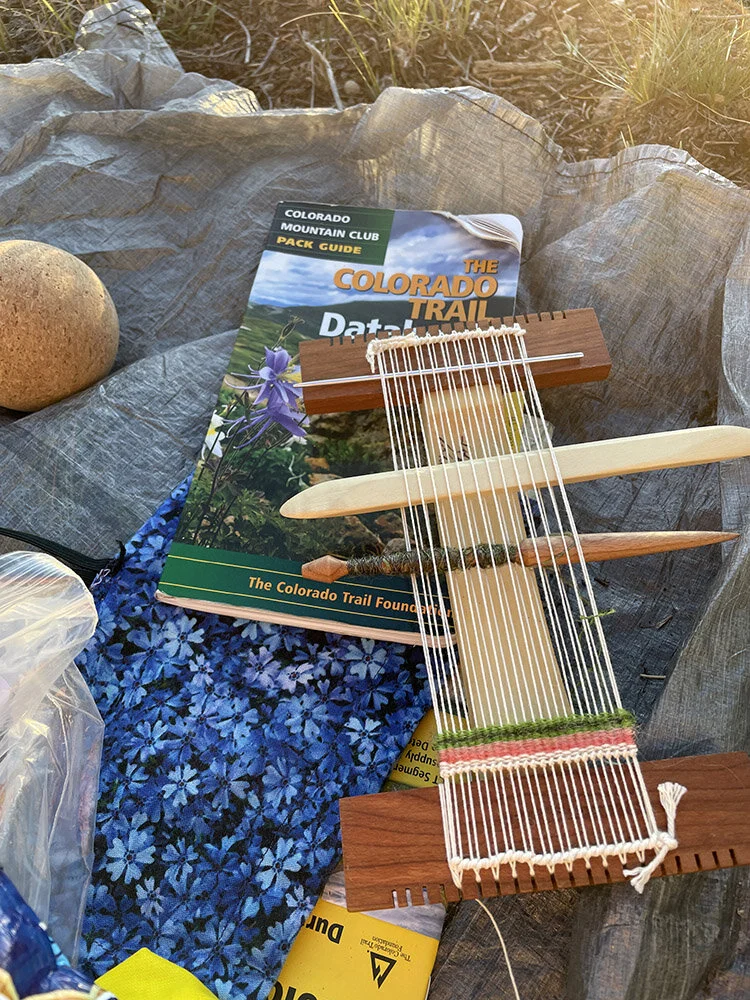


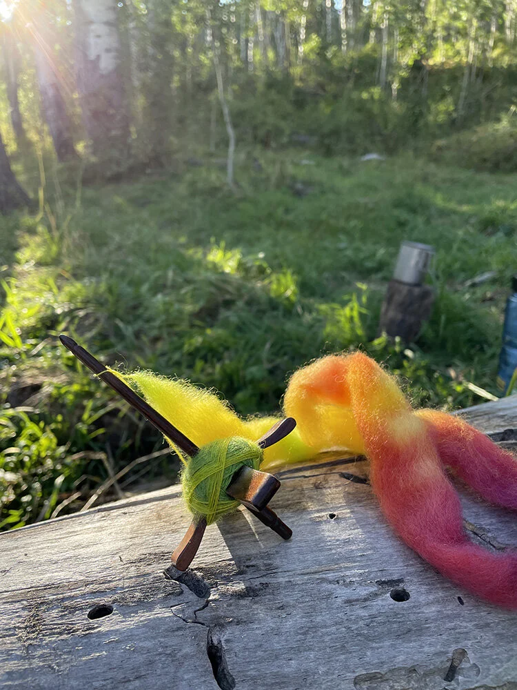
I’ll post a bit more about my art creation on the trail next week.
Trail notes:
My hiking playlist which I employed only at times when I really needed a boost OR I needed to dance it out because I was feeling good included THIS standard long distance hiking song. The chorus which starts at 0:36 is the thing. The list also included a little Aretha.
All photos were taken with an iPhone 12 which I purchased for this trip because of the camera. I think the results speak for themselves. These photos are mostly not altered at all. Managing pack weight is essential especially when you’re hiking alone and don’t have anyone to share gear with. I needed the phone for communication and it made sense to combine the camera and phone into one device instead of carrying a separate camera. But my iPhone 6 was hardly holding a charge and the camera was pretty bad. After seeing some photos from another hiker taken with the iPhone 12, I decided to get my own and I’m not sorry I did! I have little use for such a fancy phone at home, but that just means I have to take it hiking again very soon. Maybe this very weekend!
Briefly my gear for those of you who will ask: Tent (Gossamer Gear The One; Nemo Dragonfly), Sleeping bag (REI Sub Kilo 20 degree; REI Kilo Plus -5 degree), Pack (ULA Circuit), Sleeping pad (NeoAir by Thermarest), Bear canister (Bear Vault), various hiking clothes including a Mountain Hardwear puffy and Brooks Cascadia trail runners, Kuhl Sunblade sun hat, stove (Snow Peak with a fuel canister and titanium pot), rain jacket (OR Helium II) and pants (homemade) and rain mitts (Zpacks), trekking poles (REI carbon fiber poles I’ve had for 10+ years), various cobbled together gear (first aid kit, hygiene kit), water system (Platypus GravityWorks filter, extra Platy bag, SmartWater bottle, homemade cloth bucket, backup chemical treatment).